Welcome to GIS Services
GIS (Geospatial Information Systems) Services is designed to collaboratively support University of Utah students, staff, and faculty in transforming and visualizing data through the development of geospatial projects.
Featured Projects
Map Monday Releases
GIS in Demographics:
Visualizing Population Growth & Western Migration Over a 200-Year Period
GIS (Geospatial Information Systems) are utilized by many fields and industries throughout the world. Our Map Monday releases for the Spring 2019 Semester highlight some of these fields and how GIS can be employed by such professionals.
For this map, we will look at an example of GIS in Demographics and how GIS can bring life to the story of population growth & western migration data. #MapMonday
Learn more about this map
Release Date
Jan. 14, 2019
Jan. 28, 2019
Feb. 11, 2019
Release Date
Jan. 8, 2018
Jan. 22, 2018
Feb. 5, 2018
Feb. 26, 2018
Mar. 12, 2018
Mar. 26, 2018
Apr. 9, 2018
Apr. 23, 2018
Aug. 27, 2018
Sept. 10, 2018
Sept. 24, 2018
Oct. 8, 2018
Oct. 22, 2018
Nov. 5, 2018
Nov. 19, 2018
Dec. 3, 2018
Map Title
The Zombie Outbreak of Salt Lake County
Examining Topographic Models in the Digital World
120 Years of Olympic Medals: An Overview of Medal Totals (1896 - 2016)
Examining Topographic Models in the Physical World
Family-Friendly Spaces on the University of Utah Campus
Examining Correlations Between Earthquake Epicenters & Quaternary Faults
Analyzing Passenger Statistics Aboard the RMS Titanic
Exploring the 20 Highest Mountain Peaks in Utah
GIS in Planning: Examining the Development of Urbanized Areas Over Time
GIS in Ecology: Visualizing Crucial Wildlife Habitats / Municipal Areas of SLCO
GIS in Health Science: Examining Improving / Deteriorating Health in Utah
GIS in Geoscience: Identifying Pop. Areas of High Concern for EQ Occurrences
GIS in History: Through the Looking Glass - Jordanelle Reservoir
GIS in Sustainability: Examining Renewable Energy Potential Across the U.S.
GIS in Digital Storytelling: Antarctica - An Icy Expedition
GIS in Tourism: Exploring the 10 Tallest Buildings in the United States
Release Date
Jan. 23, 2017
Feb. 5, 2017
Feb. 20, 2017
Mar. 6, 2017
Mar. 20, 2017
Apr. 3, 2017
Apr. 17, 2017
May. 15, 2017
Aug. 21, 2017
Sept. 4, 2017
Sept. 18, 2017
Oct. 2, 2017
Oct. 16, 2017
Oct. 30, 2017
Nov. 13, 2017
Nov. 27, 2017
Dec. 11, 2017
Map Title
Identify Your Representatives for the 2017 Utah State Legislative Session
The History of the Super Bowl
Exploring the History of United States Presidents
Mountains to Museums: Spring Break Destinations Within Utah
Wildlife Seasonal Habitats of Utah
Jesse James: The Life and Death of a True American Outlaw
Examining the Correlation of F5 Tornadoes to Tornado Prone Areas of the U.S.
Exploring Known Shipwrecks of the United States
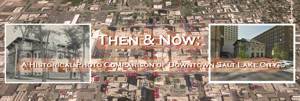
Throughout the Years: Historical & Comparative Views of the U of U Campus
Visualizing Fire Station Response Times Within Populated Areas of SLCO, UT
Exploring Utah's National Historic Landmarks & Register of Historic Places
The Topolski Visualization Project
Visualizing Nuclear Weapons Testing at the Nevada Test Site
Examining Vegetation Changes Through Near-Infrared Imagery
Visualizing the Extent of Prehistoric Lake Bonneville
Examining Past, Current, and Future Populations of the World
Flags Around the World
Release Date
Aug. 29, 2016
Sept. 12, 2016
Sept. 26, 2016
Oct. 10, 2016
Oct. 24, 2016
Nov. 7, 2016
Nov. 21, 2016
Dec. 5, 2016
Dec. 19, 2016
Map Title
The Beatles' 1966 United States Tour
How Close Are You to the Marriott Library?
How Are Property Values Recovering For Salt Lake County Owners (2010-2014)?
Set Your Destination for Utah Public Lands
How Earthquake Prone Countries Correlate to Significant Historical Events
Westward Expansion and the Corps of Discovery
Visualizing the Origins of a Traditional Thanksgiving Dinner
From the University of Utah to the Slopes
History Through the Looking Glass: Thistle, Utah
*Bi-weekly maps will be released throughout the Spring 2019 Semester on a variety of topics
Contact Information
Justin SorensenGIS Specialist
J. Willard Marriott Library - 1705M
(801) 585-7349
Schedule an Appointment

Creativity & Innovation Services
GIS Services is a unit within the Creativity & Innovation Services department. Learn more about the latest projects, specialized services and upcoming events from each of the units:Creativity & Innovation Services Webpage

Creativity & Innovation Services Blog
Upcoming Semester Events