Project Portfolio
Geographical Information Systems (GIS)
GIS Services has produced and collaborated on a number of geospatial projects designed with students and researchers in mind. Explore a selection of our work below:
Map Monday Releases

GIS as a Form of Art
It has been said that "Art is in the Eye of the Beholder", and when you really think about it, it's true. We all have different interpretations of what art is as well as what we like and don't like. With all of the different types out there, can GIS maps and data also be considered a form of art?
#MapMonday
Learn More About This Map| Release Date | Map Title | |
|---|---|---|
| Aug. 31, 2020 |
The Spread of Coronavirus Throughout Utah | Blog Post |
| Sept. 14, 2020 |
Utah Religious Architecture Photographs Project | Blog Post |
| Sept. 28, 2020 |
Digital to Physical: Using GIS Technology to Create 3D Topographic Models | Blog Post |
| Oct. 12, 2020 |
Migrant Connections: Immigrant and Refugee Stories from Utah to Greece | Blog Post |
| Oct. 26, 2020 |
Walt Disney: A Life in Color | Blog Post |
| Nov. 16, 2020 |
GIS as a Form of Art | Blog Post |
| Release Date | Map Title |
|---|---|
| Aug. 29, 2016 |
The Beatles' 1966 United States Tour |
| Sept. 12, 2016 |
How Close Are You to the Marriott Library? |
| Sept. 26, 2016 |
How Are Property Values Recovering For Salt Lake County Owners (2010-2014)? |
| Oct. 10, 2016 |
Set Your Destination for Utah Public Lands |
| Oct. 24, 2016 |
How Earthquake Prone Countries Correlate to Significant Historical Events |
| Nov. 7, 2016 |
Westward Expansion and the Corps of Discovery |
| Nov. 21, 2016 |
Visualizing the Origins of a Traditional Thanksgiving Dinner |
| Dec. 5, 2016 |
From the University of Utah to the Slopes |
| Dec. 19, 2016 |
History Through the Looking Glass: Thistle, Utah |
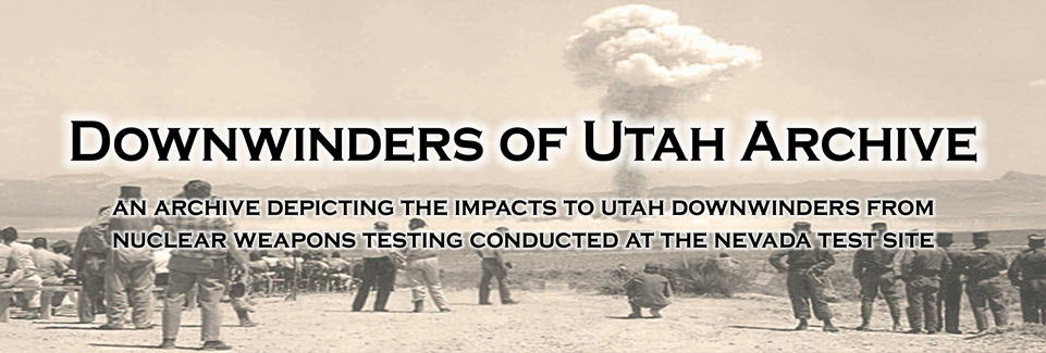
Downwinders of Utah Archive
Learn about nuclear testing conducted at the Nevada Test Site and the devastating effects nuclear fallout has had throughout Utah.
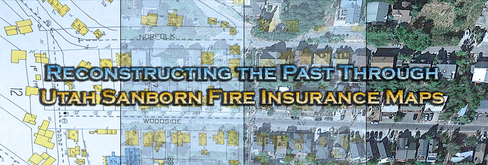
Reconstructing the Past Through Utah Sanborn Fire Insurance Maps
Explore the historical Utah Sanborn Fire Insurance Map Collection within an interactive, 3-dimensional environment.
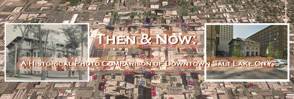
Then & Now: A Historical Photo Comparison of Downtown Salt Lake City
Learn about the importance of historical preservation and how areas of downtown Salt Lake City have changed over time.
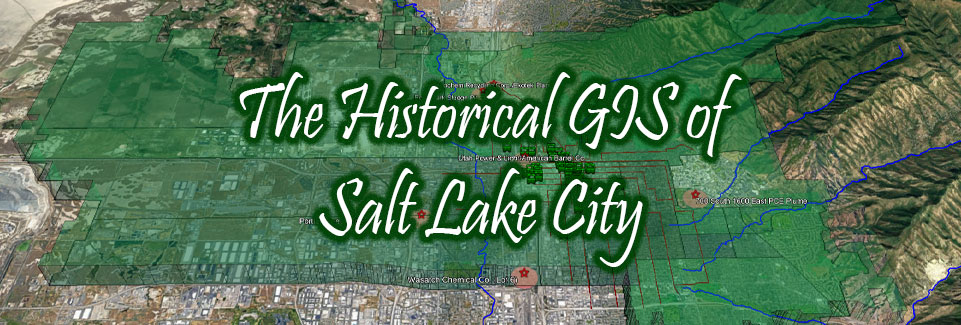
The Historical GIS of Salt Lake City
Explore and investigate chemical impacts to Salt Lake City associated with EPA Superfund Sites and historical businesses within an interactive, 3-dimensional platform.
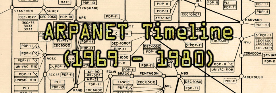
ARPANET Timeline (1969 - 1980)
Learn about the development of the network that would one day become the Internet.
Project Website: Utah: The Fourth Node on the ARPANET
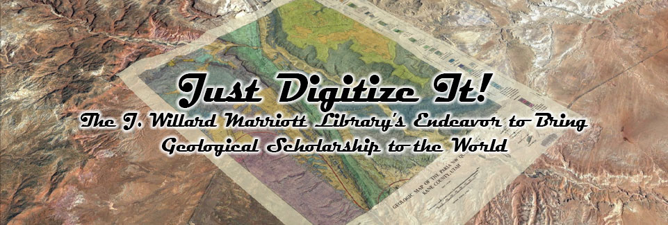
Just Digitize It! The J. Willard Marriott Library's Endeavor to Bring Geological Scholarship to the World
View the vast collection of University of Utah Geology Theses and Dissertations while exploring associated maps within a 3-dimensional environment.
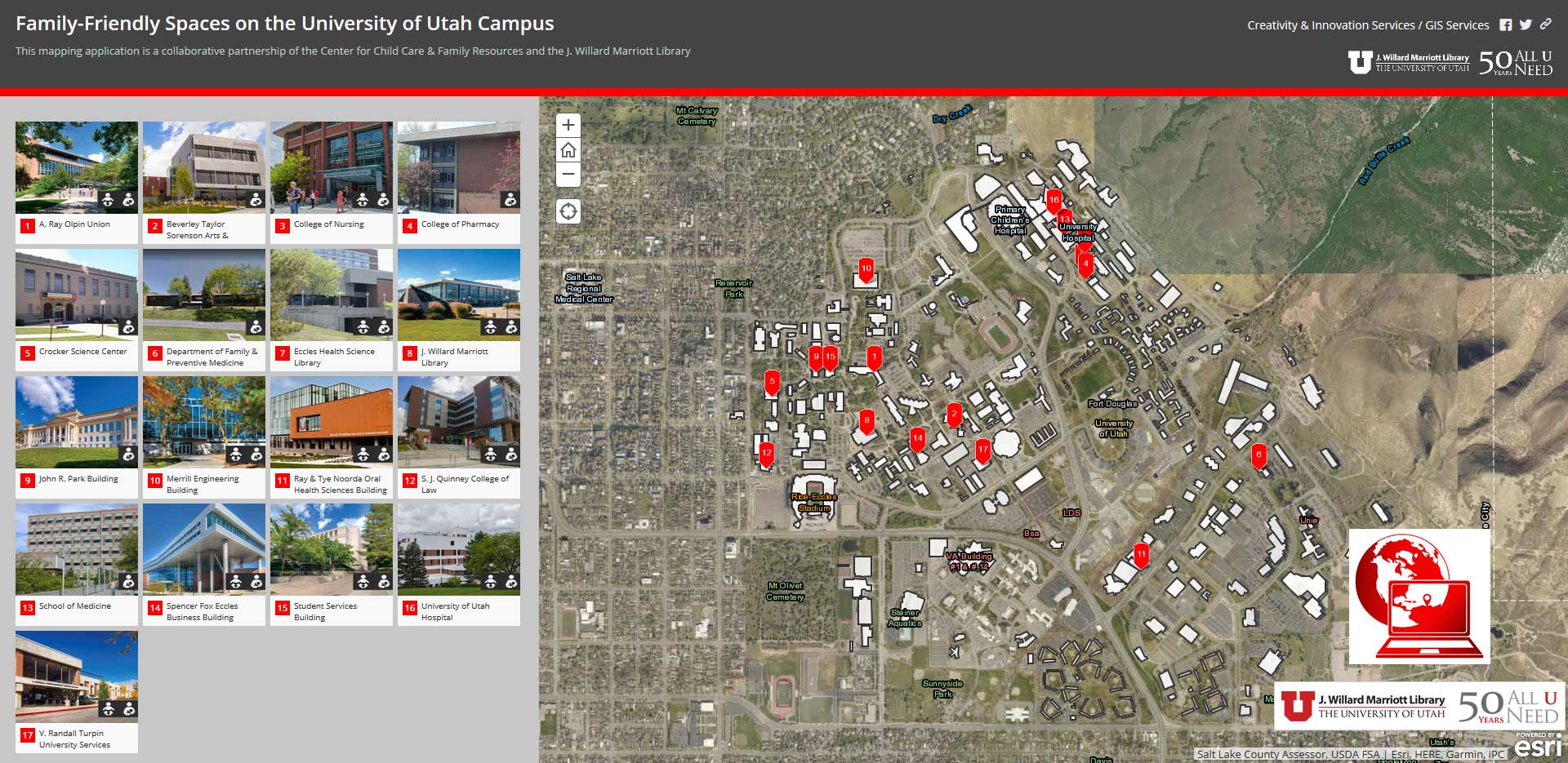
Family-Friendly Spaces on the University of Utah Campus
Learn about the family-friendly spaces available on the University of Utah Campus while obtaining location and use information through the collaborative project.
*A collaboration with the Center for Child Care & Family Resources.
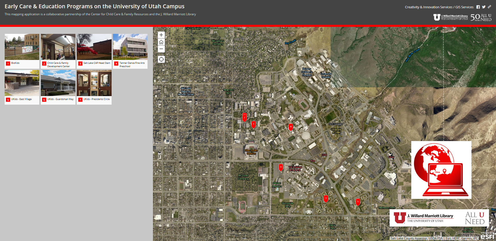
Early Care & Education Programs on the University of Utah Campus
Learn about the early care & education programs available at the University of Utah while accessing program and location information on demand through this collaborative project.
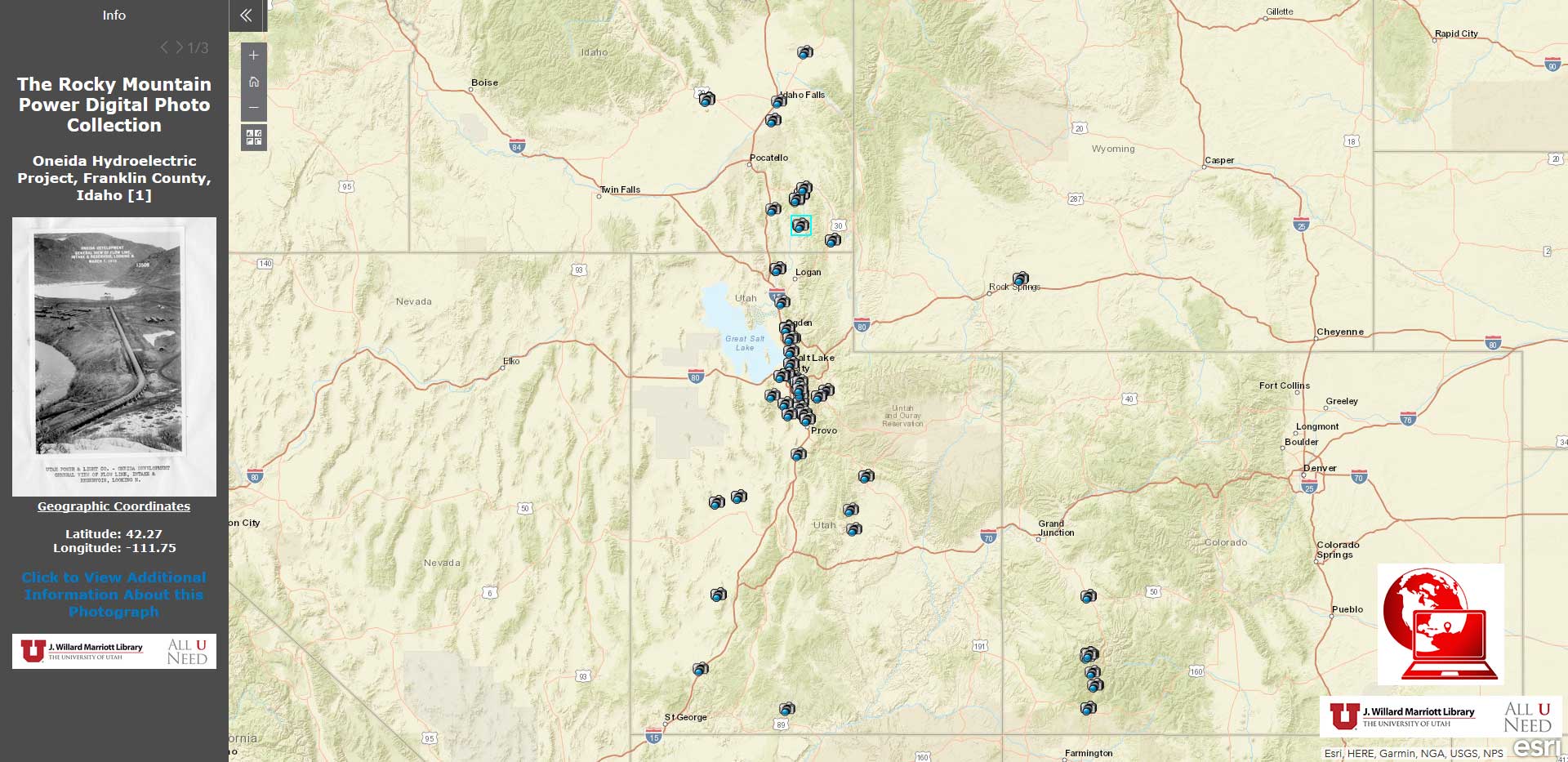
The Rocky Mountain Power Digital Photo Collection
Explore the digital collection of photographs geolocated on an interactive map with additional information for the Marriott Library catalog available on demand.
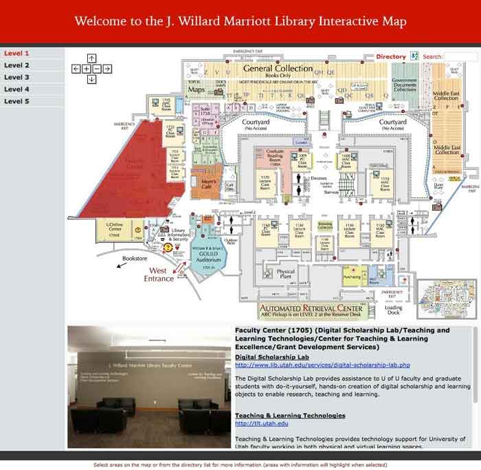
The J. Willard Marriott Library Interactive Map
Navigate and obtain departmental and collection information for the Marriott Library through an interactive interface designed for students, staff, faculty and visitors.
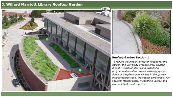
The J. Willard Marriott Library Interactive Rooftop Garden Map
Learn about the unique plants and features associated with the rooftop garden as part of the Marriott Library's Green Initiative.
*This project is currently unavailable - please contact GIS Services for more information.
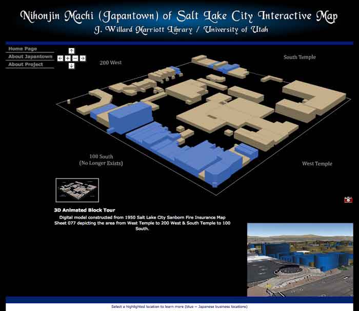
Nihonjin Machi (Japantown) of Salt Lake City
Interact with historical photographs and 3-dimensional reconstructed models of an area that once comprised a large portion of downtown Salt Lake City.
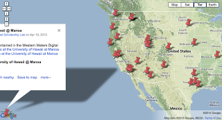
Exploring Western Waters Digital Library
Geographically access Western Waters Digital Library materials through a unique, interactive platform showcasing materials by institutional partners and places of interest.
*A collaboration with the Western Waters Digital Library.
Contact Information
Justin Sorensen, GISP
GIS Specialist
MLIB 1705L
(801) 585-7349
Email
Project Assistance & Consultations
*Our services are limited to collaborative research endeavors. Tutoring support is not provided. If the nature of your project is unclear, please contact us for further information.
Schedule a Consultation