GIS Library
Many of the projects presented here were produced by Justin Sorensen, the GIS specialist in Creativity & Innovation Services. For more information about these projects, or to request consultation from Justin on a geospatial project, visit the GIS Services website.
Some projects are only available as a downloadable file, viewable in the desktop version of Google Earth.
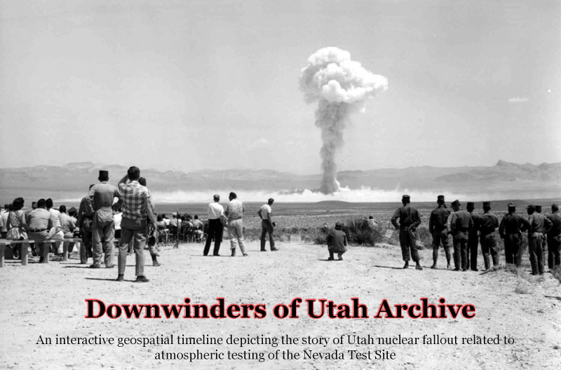
Downwinders of Utah Archive
Downwinders of Utah Archive
Downwinders of Utah Archive
Downwinders of Utah Archive
An interactive geospatial timeline of nuclear fallout in Utah.

Sanborn Maps of Utah
Explore history geospatially through the Reconstructing the Past project.

Japantown of SLC
Japantown in Salt Lake City was established in 1914 in the area where the Salt Palace now stands.

Hidden Water
Hidden Water unveils surface water systems on the east side of Salt Lake Valley, both culinary and irrigation.

Western Soundscape
The Western Soundscape Archive offers thousands of recordings of Western animal species and their environments.

Utah Digital Newspapers
Browse historic newspapers of Utah by County.

Historic Downtown Salt Lake City
Go on a historic photo tour of downtown Salt Lake City.
(available as a downloadable Google Earth file)

Impact of chemicals on SLC
A focus on the impact of banned chemicals in use from 1935-1952 on SLC.

Geology Theses Maps
Explore maps created from 1950-1975 by Geology graduate students.
(available as a downloadable Google Earth file)

Rocky Mountain Power Photo Collection
Explore images from the Rocky Mountain Power Photo Collection; each point on the map represents a single power facility.
(available as a downloadable Google Earth file)